
Looking Up Your Midvale Neighbors
Neighbor research should be parcel-adjacent first and people-focused only where a public record has a clear purpose. The GIS viewer shows geometry and nearby APNs. The Assessor shows a recorded owner and tax account. The Recorder shows instruments and legal descriptions. A voter match can add an election-file address, while HOA and civic pages identify organizations rather than every household. A Polk street section can show a past address for a publication year.
| Source | What It Shows About a Block | Access |
|---|---|---|
| GIS Parcel Viewer | Outlines, adjacent APNs, roads, layers, imagery | Free dynamic map |
| Assessor parcel roll | Owner string, situs, tax context | Free county portal |
| Utah voter record | Public address, ZIP, precinct, status, vote history | Privacy rules apply |
| Utah HOA Registry | Legal association and contact pathway | State search by name or alias |
| Polk street section | Dated names and address context | Selected digitized volumes |
Owner, mail-to, situs, occupant, filed party, and voter address are different claims. Use “recorded owner” when that is what the Assessor shows, and “listed at the address in the publication year” for a directory. The public data does not establish every neighbor or everyone inside a building.
Midvale’s Adjacent-Parcel Method
Open the Salt Lake County Assessor Parcel Viewer after finding the subject address in the Assessor. Turn on parcel, road, tax-district, and available aerial or oblique layers. Record the subject APN and each directly adjacent APN. Then open each parcel separately and save its owner string, situs, property type, subdivision or plat clues, and source date.
County GIS is a map, not a directory. Roads, canals, common areas, and public tracts can interrupt what looks like a neighboring parcel. The map can test a boundary or help find a plat, but it cannot confirm occupancy. Use the official Salt Lake County Parcel Viewer for the geography step.
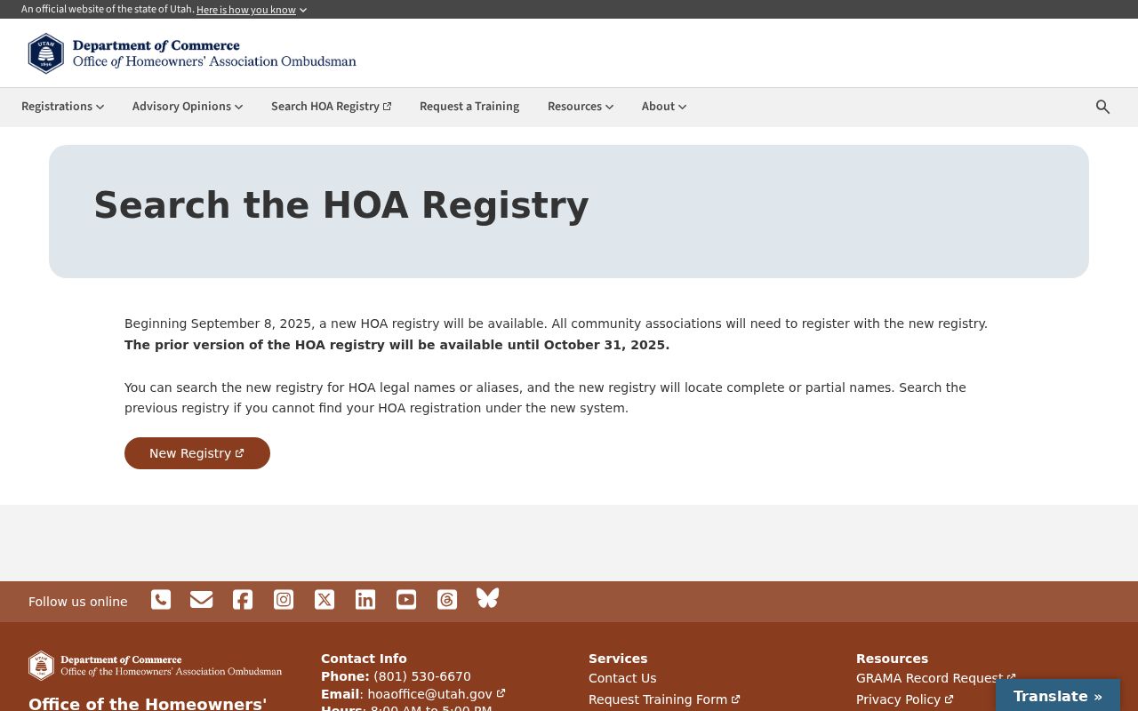
The association image is a reminder to treat community names as a research lead, then verify the legal association and parcel boundary through the state registry and recorded documents.
Mapping a Midvale Block: Parcels and Owners
Build a block worksheet with subject address and APN, north, south, east, and west adjacent parcels, street frontage, property type, recorded owner string, subdivision, last deed date, tax-card availability, and any common-area or public-property flag. Search the same plat for lots and legal descriptions before making a “neighbor” claim. A full named-street trail belongs in the Midvale street directory walkthrough.
- Locate the address in GIS and save the subject parcel.
- Open the parcels that touch the subject geometry, one at a time.
- Compare owner, situs, mail-to, tax, and property-type fields without assuming occupancy.
- Use the Recorder plat or legal description to test the lot relationship.
For the full named-street record chain, switch to the street directory page after the block has been identified.
Midvale HOA and Civic Leads
Utah’s HOA registry is the official association route. The new system searches legal names, aliases, or registration numbers and recognizes master associations and subassociations. Research leads from Midvale documents include Larson Cove HOA and The Mill Homeowner’s Association. These names are not a complete list of neighborhoods or a membership roster. Check registration status, recorded plats, CC&Rs, and current association contact details.
Union Community Council is listed as a public body through Utah Public Notice. Midvale Elementary and Midvale Middle school community-council pages can show institution-specific meetings or participants. Those pages identify public participation in a body, not every person living nearby. Publish the official route rather than copying personal board contact details into a neighbor profile.
The Utah HOA Registry search is the proper starting point for a registered association.
The Union Community Council public-body listing shows the kind of civic contact that can be verified locally.
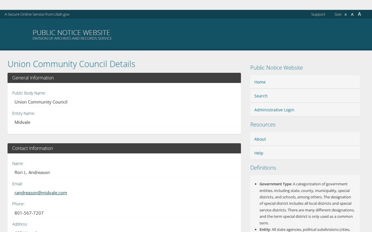
A public-body listing is a participation lead, not a complete neighbor directory or membership record.
Midvale Planning Names and History
The city general plan names Bingham Junction, West Gateway, East Gateway, Main Street, Jordan Bluffs, Old Town, Central, Copperview, Northeast Midvale, 7200 South, East Midvale, Midvalley, North Union, Fort Union, and South Union. These labels help a newspaper or directory search find the right context. They are planning or community labels, not all legal neighborhood entities and not proof of a person’s address.
Union’s 1998 annexation is a useful boundary check. An older record can use Union even when the physical place is now within Midvale. Compare a historic directory or map with County Archives C-18.2, a plat, and the current parcel before translating it. Mining and rail terms can also point to a business, district, or place rather than a home.
Midvale Plats and Common Areas
Recorder plat and subdivision records can explain why a block map has more parcels than homes. Search the subject APN and legal description, identify the subdivision or plat, then note lots, blocks, common areas, filing date, book and page, and legal-description references. Verify each lot in GIS. A common-area parcel or public tract may be beside several homes without identifying an occupant.
The Recorder’s historical retention material describes subdivision and plat indexes with filing and lot details. Use those records with Assessor property types and GIS geometry. The result is a defensible map of land relationships, not a list of household members.
Historical Midvale Neighbors
For a past block, search the same street in the Polk alphabetical, street, and householders sections. Nearby addresses can show a store, school, church, boarding house, or industrial site in the same publication year. Sanborn maps add footprints and use. A historical neighbor may be a building or business context rather than a named resident.
Midvale locality names changed with settlement, mining, rail, and annexation. Union Fort, Union, Bingham Junction, Main Street, and modern planning names should be tested as separate search terms. Preserve the printed label and compare it with the County Archives C-18.2 map series before translating the block to modern geography.
Voter and Association Boundaries
Voter data can contain a public residential address, ZIP, precinct, districts, party or unaffiliated status, active or inactive status, last update, and vote history. It does not show every person on a block, and full DOB, phone, email, signature, driver or state ID, and At-Risk records are protected. A precinct is an election boundary, not a parcel or neighborhood line.
HOA registration also has a narrow meaning. The state system can show a legal association name, alias, registration number, master or subassociation path, and contact route. It does not establish every member or every home inside a boundary. Use public organization records for civic context, then stop before copying personal contact information.
Compare Midvale Block Sources
Official rolls and commercial neighbor tools serve different purposes. An official Assessor or Recorder result has a named custodian, field definitions, date, and access limit. A commercial compilation may merge public and private data, carry old addresses, mix people with similar names, or charge for details. Neither source supplies a complete household map. Use the least invasive official source that answers the question, and verify a surprising match with the custodian.
A block worksheet is enough for most lawful research: subject APN, adjacent APNs, parcel type, owner string, situs, subdivision, plat, last deed date, tax-card availability, civic or association lead, and source date. Do not add full birth dates, personal phone or email, signatures, unit numbers, or protected addresses. The purpose is to understand land and public context, not to assemble a private profile.
If a block question needs a city permit, cemetery lot card, police file, or public-body correspondence, identify the department and file before using GRAMA. Salt Lake County’s procedure asks for a specific record description and routes the request to the agency that holds it. The response may be approval, denial, extension, or not maintained. A request should not ask for every record about each neighbor.
For safety questions, use the official agency or emergency channel. A map or neighbor lookup is not a substitute for immediate help, and a public record can be stale or incomplete.
Keep the block work narrow and source-led. A parcel edge, plat lot, association name, or dated street entry is enough to guide the next search.
Privacy Limits on a Neighbor Lookup
Neighbors are not a public category with a complete list. Renters, household members, unlisted subscribers, utility customers, and delivery customers are not supplied by the parcel map. An owner may be an entity, trust, HOA, common area, or mail recipient. Voter records can be old, inactive, or withheld. Utah Safe at Home provides substitute addresses for eligible survivors, and At-Risk voter withholding protects qualifying records.
Lawful use. Midvale neighbor lookups are for getting to know the block, reconnecting, civic understanding, and personal safety awareness. Do not use them to watch, stalk, harass, intimidate, or harm anyone. Verify important information with the custodian.
Compare official records with commercial neighbor tools only as categories: official records have a named custodian and source rules, while commercial compilations can be stale, mixed, incomplete, or costly. Neither category should be used to assemble a precise profile or to defeat a confidentiality program.